Whether gliding, powered flight, hang-gliding and paragliding or ballooning -
Flight weather for better flights and rides
Thermal Maps, Potential Flight Distance Forecasts, Live Weather App, Flight Planning
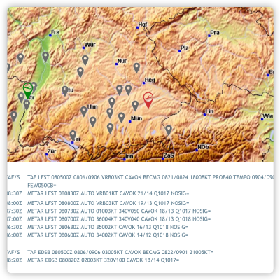
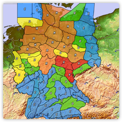
GAFOR Areas, Detailed Area Forecasts, METARs, TAFs, In-Flight App, Flight Planning
Local area forecasts, 10m wind (1kt resolution), Optimal thermal forecasts
High altitude winds up to 7000m MSL, surface wind and gust forecasts, live radar app
Our highlights
Professional forecasting models and real-time data
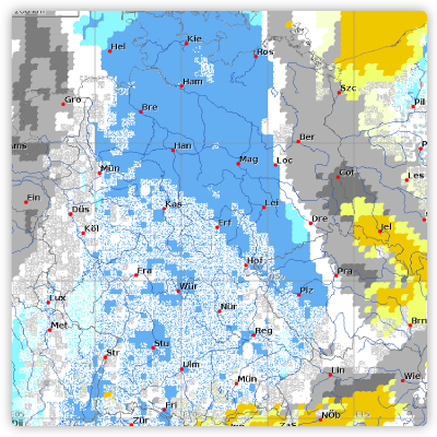
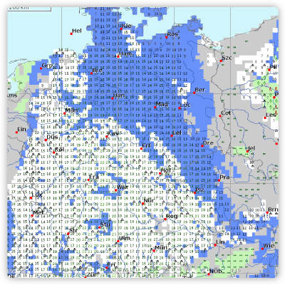
Daily forecast maps
For XC and VFR planning.
Assess the whole day at a glance.
Just take a look at our video tips for a quick first impression.
Our tools
Location forecasts
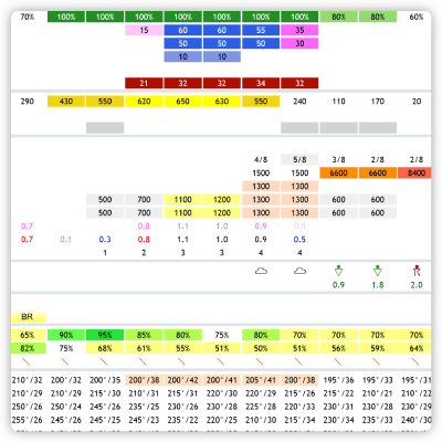
Save your own locations and create and share your take-off points via coordinates. The weather in one place for the whole day in a tabular overview.
Flight planning
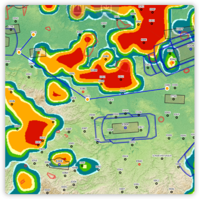
Route planning based on the forecast and with current airspace data. For VFR flights or in FAI mode for cross-country flights.

