Partnerships & Cooperations

iAOPA Logo Europe

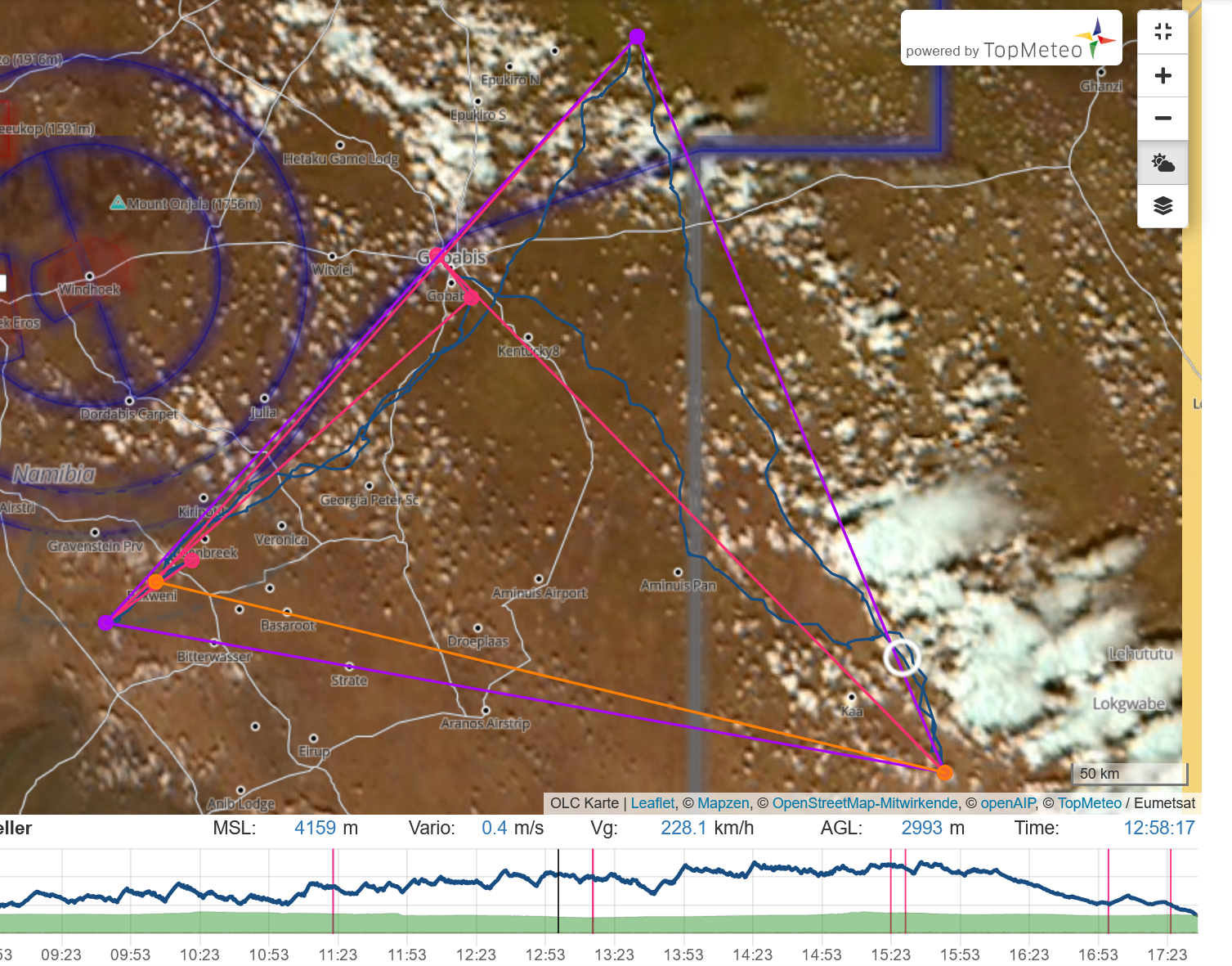
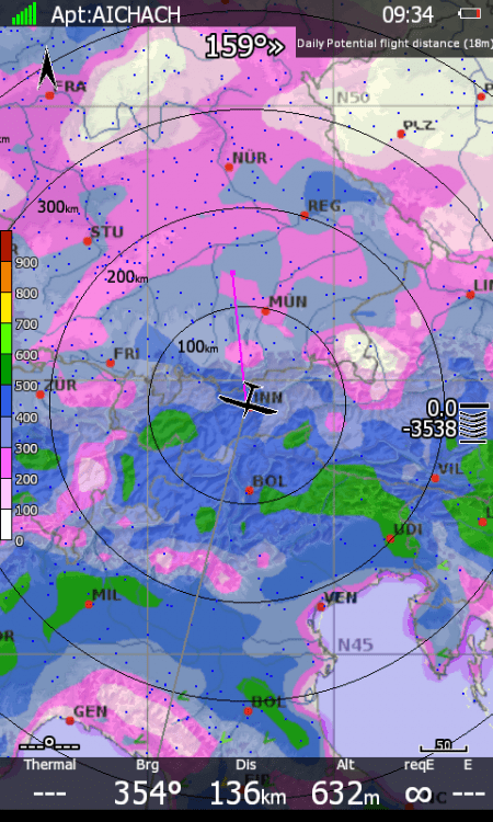
Our high-resolution satellite image can be placed under flights in the OLC. In this way, flight path decisions in “real weather” can be better understood and analyzed.

We also offer weather maps on the OLC site in Europe, Africa and the USA.

The cooperation between the OLC and TopMeteo has existed for over 15 years. The innovative power of the OLC team revolutionised decentralised flying in the noughties.

Our weather data can be integrated into the SeeYou planning software and used for better flight planning.

Our high-resolution satellite images can be displayed as layers in Oudie N and SeeYou Navigator .

For this, our customers need either the COMFORT or the PREMIUM package.

Current weather in the cockpit in a LXNAV device.

For this, our customers need either the COMFORT or the PREMIUM package.

TopMeteo offers all pilots in the iAOPA an AOPA discount of 15% when purchasing an annual package.

You can find more information at your national AOPA under the keyword TopMeteo.